
@londons_network #nlneb
Five days ago three Explorer Scout Leaders – Dan Rookes, Andrew Illman and myself – set out for France on our Explorer Belt expedition, hopefully the first of many for our respective Explorer Units and North London Scout District.
The aim was for us to do some serious walking along the Grand Randonee (GR) hiking trails in the Parc Naturel Regionel du Verdon – a large National Park situated in the French countryside between Nice and Marseille, criss-crossed with deep canyons and rivers, and scattered with idyllic towns and villages.

We flew into Nice on various flights and rendezvoused at the hostel Dan and Andrew had stayed at the night before a little way out of town, made some swift shopping plans and headed out to buy gas, snacks and dried food. The Monoprix supermarkets had all the food we needed and Go Sport – a bit like Sports Direct – had gas cartridges.

The attractive town square in Castellane we were headed for.
From some previous research we knew that the town of Castellane was a good place to go to join the GR4. A quick visit to the Office de Tourisme on the beach in Nice gave us some transport options and we headed off that evening to catch a coach, unfortunately the OTI made a mistake with the times and we missed the last bus of the day by five minutes. We desperately scrambled around Nice for three beds in a hostel and eventually found some. More shopping for dinner followed and then as one of us had been up for nearly two days by that point we went straight to bed.
We were up at 5:30 am for the 80km coach journey to Castellane (€16.40 each one way – bargain!) and arrived there at 9:30am. We found the OTI and asked about camping opportunities and were given lots of information. Top tip – always keep asking for as much info as you need, it’s normally there even if the staff are a tad too lazy to go and find it! They said there were plenty of campsites in and around towns, and most were marked on the IGN 1:25,000 maps.
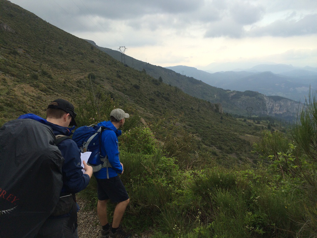
That day we hiked for 20km along the GR4 in variable weather conditions to a campsite by Carajuan (grid ref 29385,48524 on IGN Map 3442OT), a little place a few km outside Rougon, on the banks of the river Verdun. Navigation was mostly straightforward until we ran off the edge of the 1:25000 map we had with us (another top tip – bring maps to cover larger areas than you originally think you might need!) and we resorted to asking directions from locals.
“3km, pas de problem!” Said one gentleman, when we asked how far it was to the campsite… At least 6km later we were still walking….
We turned in early but we got barely any sleep due to a thunderstorm directly overhead. By midnight the flashes of lighting were so bright that we could have read a book inside the tent and the wind and rain shook the tent and made a huge amount of noise.
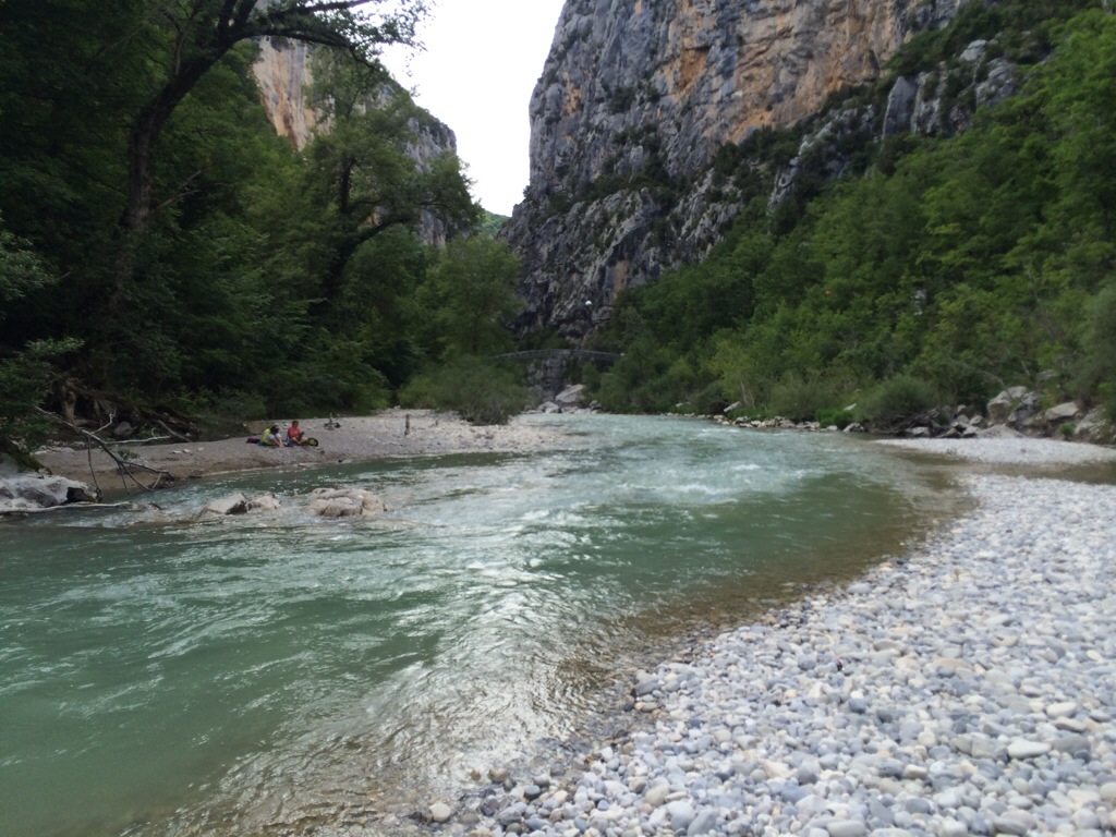
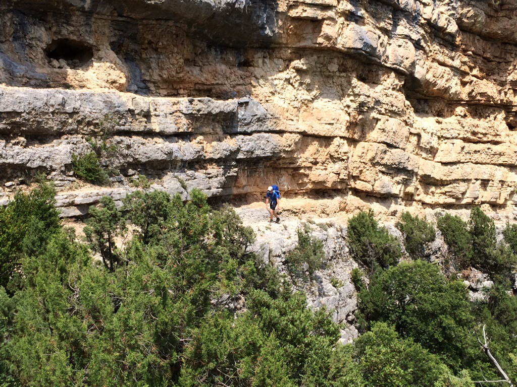
The next morning dawned clear and sunny and we set out at 10am along the GR4 for La Palud sur Verdon. We walked along the bottom of the Gorge du Verdon on footpaths and through old mining tunnels and made slow but steady progress in the oppressive heat. A killer uphill directly up the cliff face (it seemed!) took us out of the Gorge in the afternoon to Chalet la Maline, from where we followed the incredibly picturesque cliff-top road to La Palud.
Camping that evening was in another Camping Municipale (cheap) campsite (same map, ref 28580,48506) and the local town had a couple of bakeries and a small supermarket. Although the campsite owner was not around when we arrived he turned up to collect the modest camp fee that evening.
We were woken in the small hours by a crashing sound and a lot of swearing and cursing. Someone, or something, had fallen onto Dan’s tent and broken and collapsed it. A quick pole repair with the emergency duct tape and a cursory check of the campsite for anything amis and we were straight back to bed.
The next morning a hungover German offered his apologies and the contents of his wallet as he had walked over it in the night.
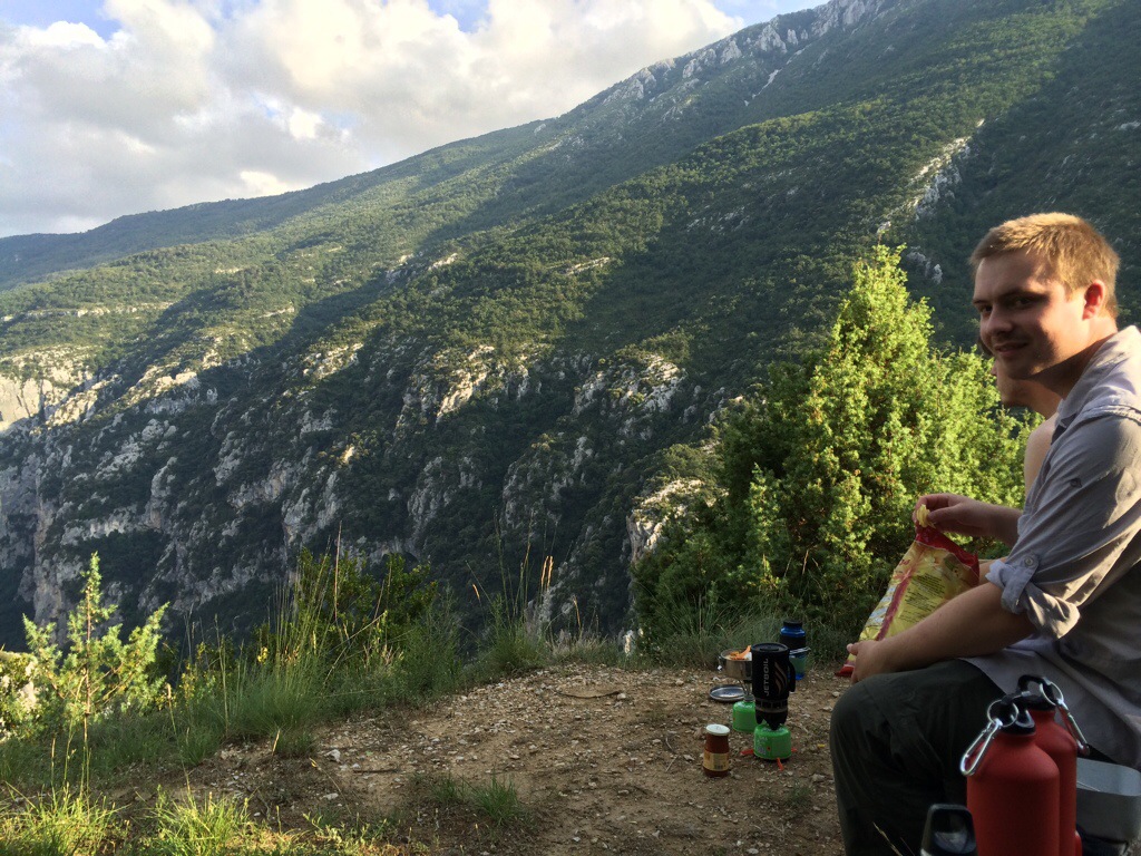
That day we walked West along the Sentier du Bastidon to a cliff-top campsite at 28155,31725 overlooking the Verdun Gorge. We found it quite deserted but as the buildings were open we settled in. The owner came along later and was even kind enough to give us a lift into town so we could buy grub.
The heat the next day was noticeable and we took the 15km to Moustiers Ste Marie slowly. The first part of the walk was directly north from the campsite and we rejoined the GR4 at 28220,48519. It was easy navigation all the way from there and we had some fantastic views from the top of the ridge the Crete de l’Ourbes. That evening we checked into the 3-Star campsite St-Clair at 27675,48565.

Go for a pitch near the river at the bottom of the site away from the caravans – the river is perfect for paddling and has a few deep plunge pools for jumping in to. Good for keeping the milk chilled too!
The next day was a well earned rest day and we did little more than wander the few km into Moustiers Ste Marie to explore the shops and have a pizza and diabolo.
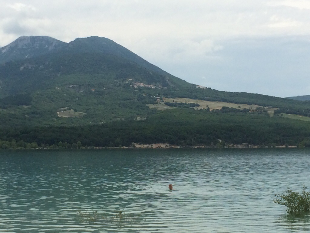
The day after that (today, as I am writing) we left the tents pitched at the campsite and walked uphill towards Chaudon to get a fantastic view of Lac de Ste Croix. We followed the footpaths down to the lake shore and found a fantastic spot away from anywhere for lunch. As the water was warm and the beach was sandy we went for a dip and even attempted to fulfil the challenge of ‘catch a fish’ that we had been set, but despite all our efforts we failed miserably.

On the way back we visited a local food festival and bought ingredients for ratatouille, which turned out excellent, despite being thrown together in a mess tin.
Currently chilling out by the river next to our tents and looking over the map for ideas for tomorrow’s route.

Wow, sounds like a fun adventure. I’ll add it to the things I want to do.
Cheers Chris